



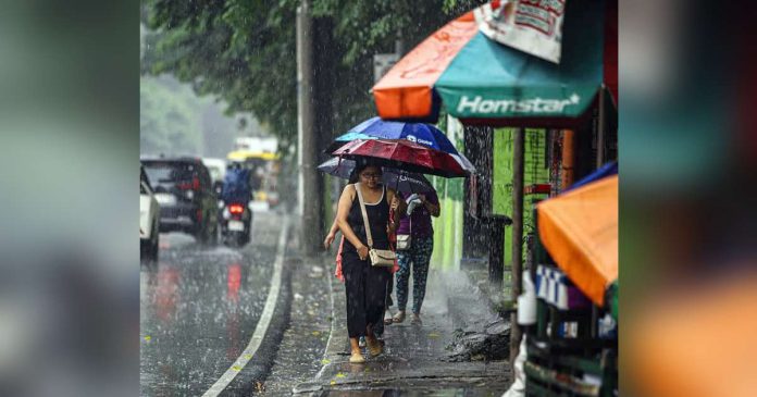
MANILA — Metro Manila is expected to bear the brunt of Super Typhoon Inday’s impact on Friday and Saturday as the cyclone intensifies the southwest monsoon, prompting authorities to prepare for widespread flooding and hazardous weather conditions.
The Philippine Atmospheric, Geophysical and Astronomical Services Administration (PAGASA) warned that while Inday may weaken into a typhoon beginning Thursday, its interaction with the southwest monsoon will continue to trigger heavy rainfall across the western sections of the country.
The Department of Public Works and Highways (DPWH), meanwhile, identified 123 flood-prone areas across Metro Manila ahead of the anticipated downpour and urged the public to remain vigilant.
Inday entered the Philippine Area of Responsibility (PAR) early Wednesday.
As of 4 a.m., the super typhoon was located about 1,405 kilometers east of Northern Luzon, moving westward at 25 kilometers per hour with maximum sustained winds of 185 kilometers per hour and gusts of up to 230 kph.
PAGASA raised Tropical Cyclone Wind Signal No. 1 over Batanes, Cagayan, including the Babuyan Islands, northern and central Isabela, Apayao, eastern Kalinga, northern Aurora, and northern and central Catanduanes.
The state weather bureau said areas under Signal No. 1 could experience strong winds, while the combined effects of Inday and the enhanced southwest monsoon are expected to generate strong to gale-force winds over Pangasinan, Zambales, Bataan, CALABARZON, most of MIMAROPA, the Bicol Region, large parts of the Visayas, and much of Mindanao.
PAGASA also said gale warnings will be issued over the northern and eastern seaboards of Luzon and the Visayas as rough to very rough sea conditions develop.
Despite its projected weakening, Inday is expected to continue enhancing the southwest monsoon, resulting in widespread rains that could trigger flooding and landslides, particularly in vulnerable areas.
The cyclone is forecast to exit the Philippine Area of Responsibility on Saturday./PN