


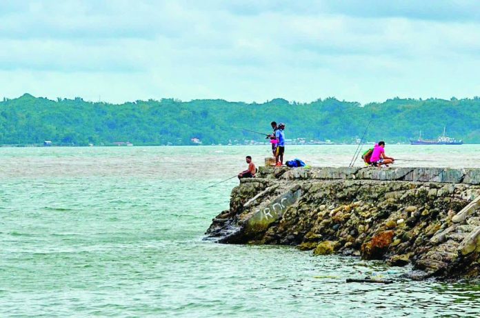
ILOILO City – Authorities have warned that residents of Iloilo City could have as little as 15 minutes to reach safety if a powerful undersea earthquake in the Negros Trench triggers a localized tsunami — a scenario that could inundate the city’s coastal areas before responders can even sound the alarm.
A tsunami is a series of large sea waves caused by the sudden displacement of water, usually triggered by underwater earthquakes, volcanic eruptions, or landslides. These waves can travel rapidly across bodies of water and rise dramatically upon reaching shallow coastlines, causing severe flooding and destruction.
“This is not a distant or hypothetical danger,” said Darwin Papa, chief of the City Disaster Risk Reduction and Management Office’s (CDRRMO) Disaster Response Division.
A magnitude 8.2 earthquake from the Negros Trench can send waves from the Antique side toward Iloilo City in about 15 minutes — that’s barely enough time to evacuate, stressed Papa.
“The evacuation should start the moment the shaking begins,” he said.
Papa clarified that while Iloilo City is shielded from large Pacific-wide tsunamis, it remains vulnerable to localized tsunamis originating from nearby fault movements.
The Negros Trench, an active subduction zone west of Panay Island, is considered the city’s main “earthquake generator.”
“If movement happens there, we only have 15 minutes to react,” he said. “That’s why our focus is on immediate, ground-level awareness. Don’t wait for sirens or instructions — once you feel strong shaking, move up to higher floors immediately.”
According to the Philippine Institute of Volcanology and Seismology (PHIVOLCS), the worst-case scenario for Iloilo City could bring waves as high as 11.54 meters, roughly the height of a three-story building.
‘Go up instead of out’
Because Iloilo City’s terrain is largely flat, Papa emphasized that escaping by vehicle or fleeing inland would be impractical.
“If you check the PHIVOLCS tsunami hazard map, it shows that evacuation by road won’t be practical within 15 minutes,” he said. “It’s safer to go up instead of trying to drive away.”
He said the nearest natural high ground is in Cabatuan, Iloilo but reaching it within minutes is impossible.
“Preparedness-wise, people should already identify where they can go,” he advised. “Since we don’t have elevated areas in the city, the practical option is to go up to tall buildings.”
Papa also urged residents to be familiar with the structural integrity of nearby buildings, noting that Iloilo City Hall, for example, is designed to withstand a magnitude 8 earthquake for two minutes.
“If a building can survive that kind of shaking, then it might also be safe to stay there in during a tsunami,” he explained. “That’s why it’s important to know the building where you live or work.”
Promoting a culture of preparedness
The CDRRMO continues to conduct tsunami and earthquake drills in coastal barangays and schools, working closely with PHIVOLCS and the Office of Civil Defense (OCD-6) for monitoring and early warning dissemination.
“Worst comes to worst, it’s a matter of surviving either the earthquake or the tsunami itself,” Papa said. “That’s why preparedness, awareness, and discipline are key.”
He stressed that the agency’s goal is not to cause panic but to promote vigilance.
“We want people to understand that being informed is being safe,” he said. “We can’t prevent earthquakes or tsunamis, but we can reduce their impact if we act quickly and responsibly.”
The strongest earthquake ever to strike Panay Island – and Iloilo City for that matter – hit on January 25, 1948 — a magnitude 7.8 tremor that came to be known as the “Lady Caycay” quake.
With its epicenter near Anini-y, Antique, the quake registered a Mercalli intensity of X (“Extreme”), tearing open fissures as wide as four meters across Iloilo and Antique.
The shaking even triggered a small tsunami along the Iloilo Strait that reportedly claimed two lives.
At least 21 people were killed and 43 others injured. Fifty-five Spanish-era churches were damaged, 17 of them collapsing entirely.
In Iloilo, historic belfries in Jaro, San Joaquin, and Arevalo toppled. Bridges crumbled, buildings gave way, and the land itself split open.
The “Lady Caycay” earthquake remains the second-strongest in Philippine history, next only to the 7.8-magnitude Luzon earthquake of 1990./PN

